Drone & Aerial Photography
Services & Pricing
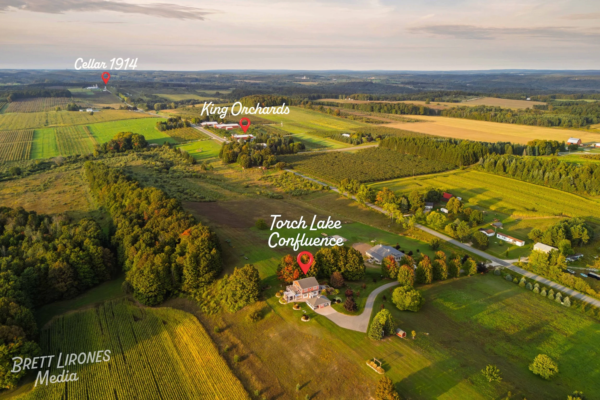
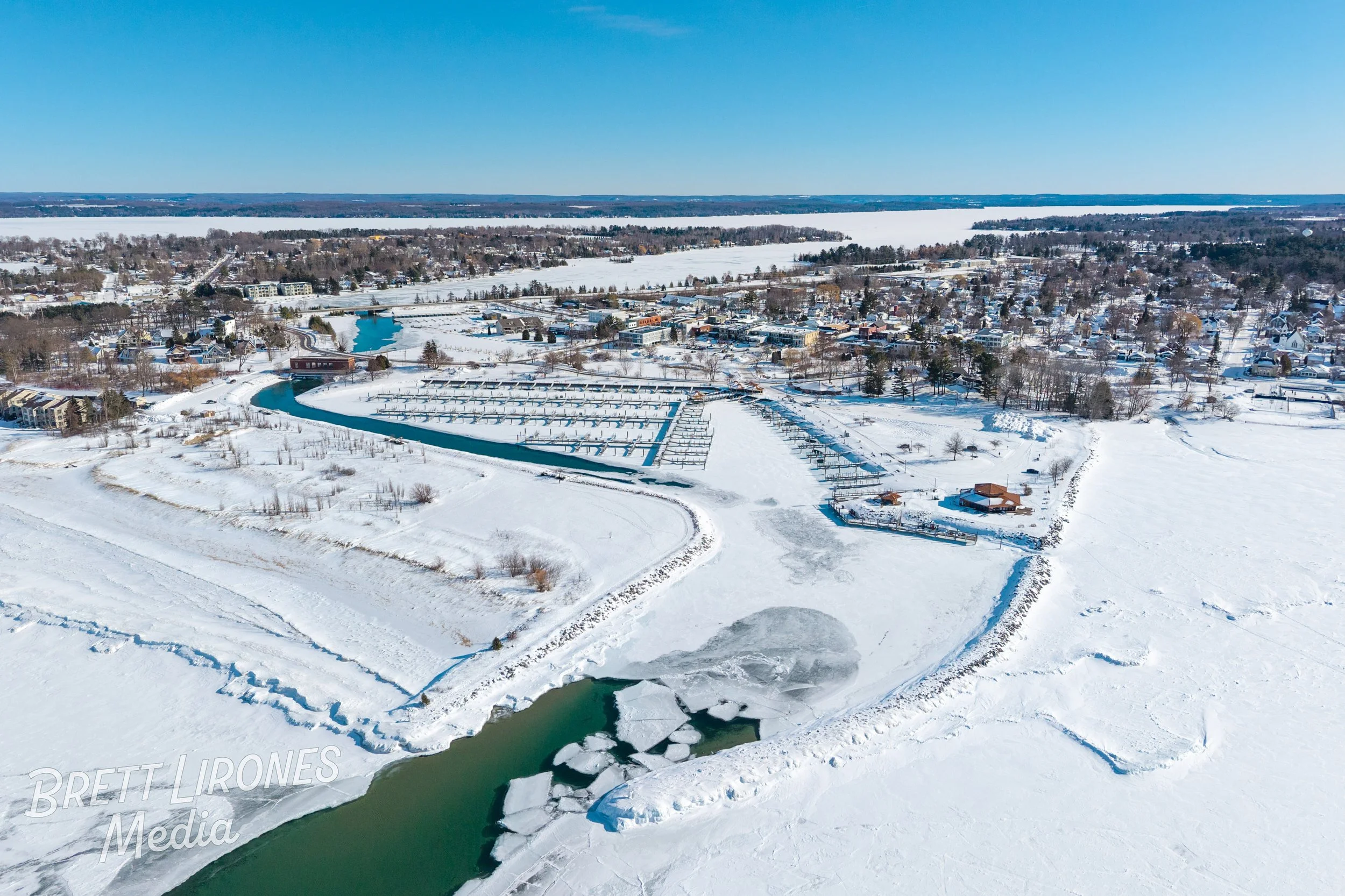
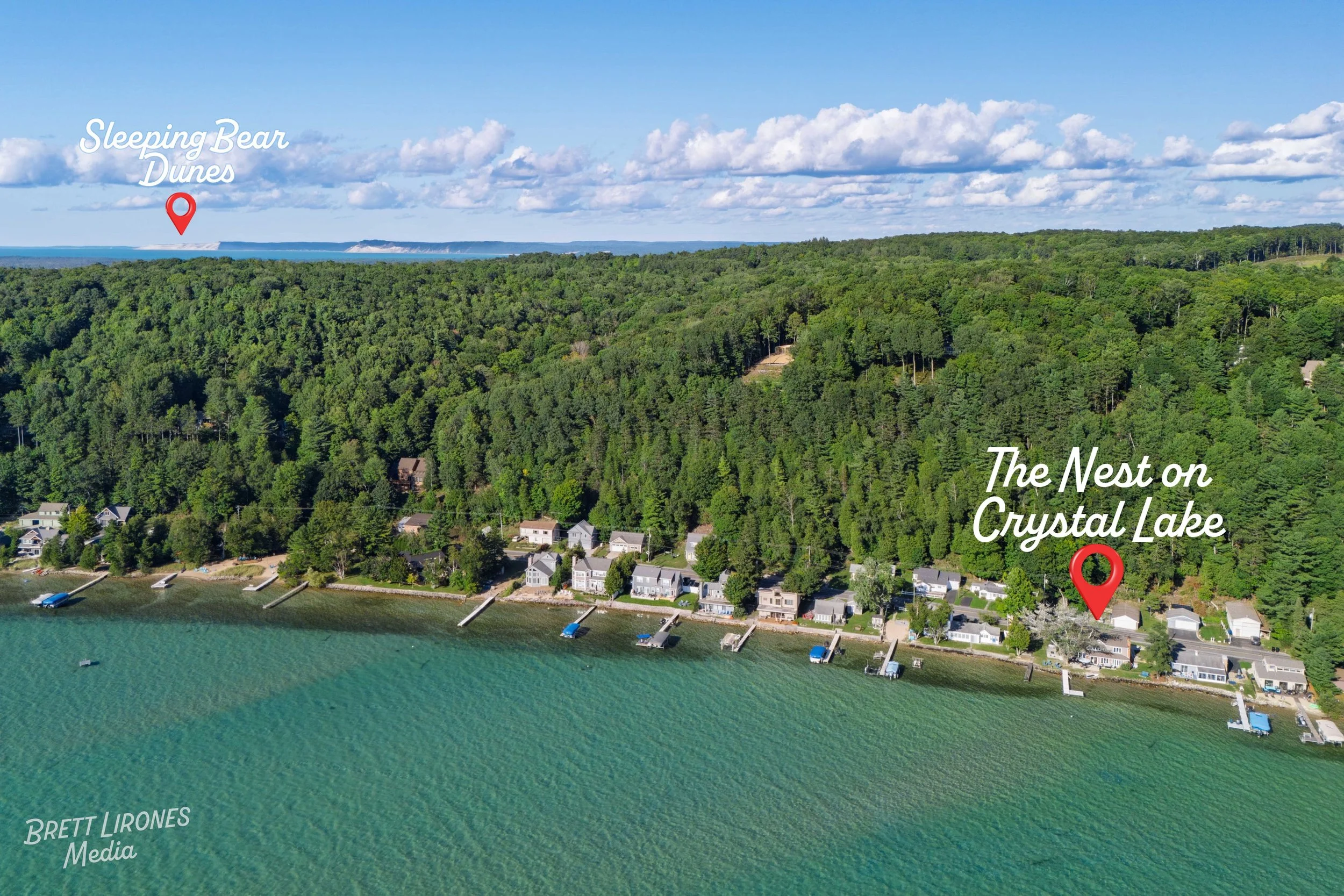
Aerial imagery provides clarity, scale, and context that ground-level photography cannot. Whether marketing vacant land, waterfront property, acreage, or development parcels, professional drone photography helps buyers better understand boundaries, access, surroundings, and proximity to key features.
All aerial work is performed in compliance with FAA Part 107 regulations and includes standard airspace and weather planning prior to flight.
If you are a real estate agent looking for both breathtaking aerial photos along with clear and bright interior images, please see my dedicated real estate photography services page here.
-
Price: $225
Session Includes:
10–20 professionally edited aerial images
Multiple angles including overhead and obliques
Up to 30 minutes of on-site flight time
Up to 2 property boundary overlays included (upon request)
Ideal for vacant lots, waterfront parcels, acreage, and land listings requiring clear property context.
Turnaround Time: Digital Delivery Provided Within 2-3 Business Days
Add-Ons & Additional Services
-
Price: +$50
Parcel boundary lines added to select aerial images for marketing clarity. Overlays are created using publicly available parcel data and formatted cleanly for MLS and online listings.
-
Price: +$125
30–60 second stabilized aerial video clip highlighting property approach, surrounding landscape, and key features. Delivered in web-ready format.
-
Price: +$199
Golden hour or early evening aerial session designed to highlight waterfront, lighting, or scenic surroundings. Subject to weather and seasonal conditions.
*Flight availability is subject to airspace restrictions, weather conditions, and FAA compliance requirements.